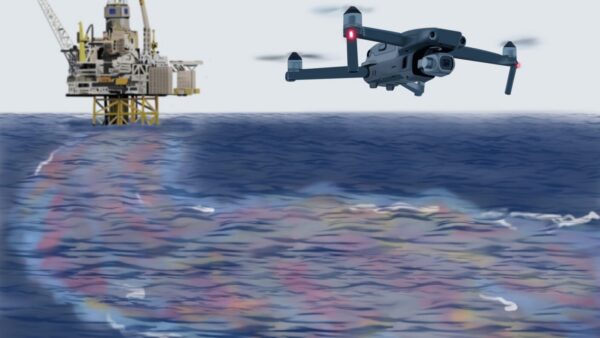
Texas A&M Team Uses Drones to Map Ocean Currents
Texas A&M researchers are using cheap drones to map ocean currents in minutes — data that could make oil-spill cleanup faster and smarter. They’ve even built flight plans for windy offshore conditions. #Drones
Related Articles
approximately 1 days ago 0
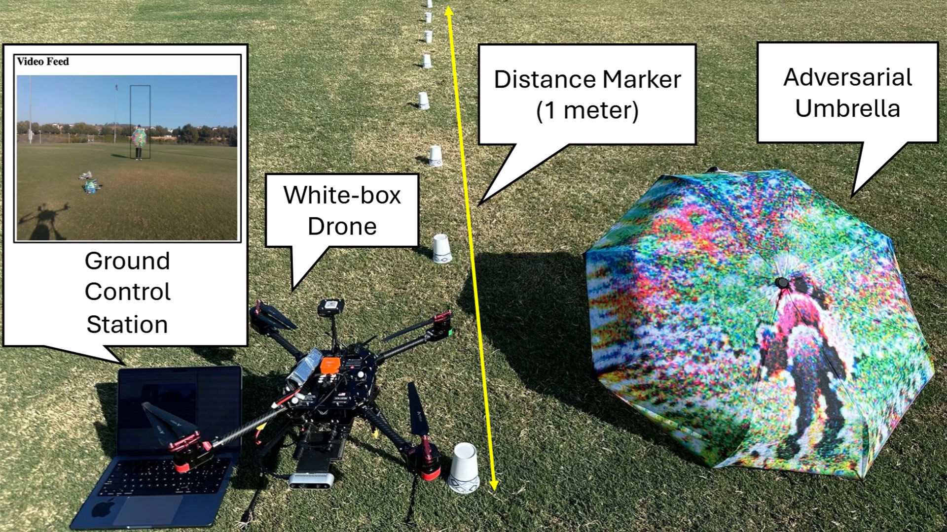
California scientists 'FlyTrap attack' on DJI drones demonstrated — patterned umbrellas lure autonomous drones close enough to be captured or even induced to crash
approximately 2 days ago 0
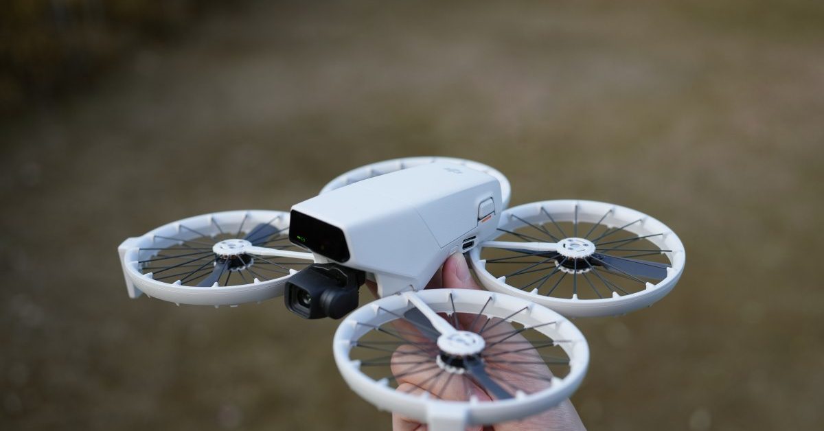
DJI Flip now cheaper than many beginner drones

approximately 2 days ago 0
The best drone deals to shop ahead of Amazon's Big Spring Sale — DJI drones at all-time lows
approximately 4 days ago 0
Windracers ULTRA to Map Greenland’s Petermann Glacier