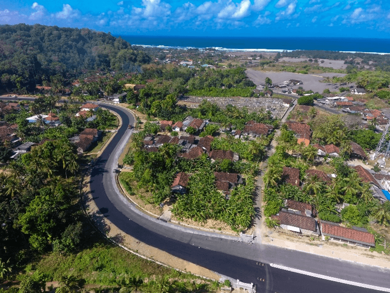
Designing Resilient Roads on Java’s Southern Coast: A Blue Marble Geographics Case Study
Drone-mapped terrain and watershed models flagged exact spots where water would pool on Java's south-coast road - a storm proved them right. Engineers added targeted drains and slope fixes, cutting landslide/flood risk and keeping the new corridor open for tourism. #Drones
Related Articles

approximately 4 days ago 0
Designing the Optimal Drone: How HP Additive Manufacturing Enables Speed, Scale, and Supply-Chain Flexibility

14 hours ago 0
Disney Cascade of Lights: New 379-drone water show debuts in Paris this month

18 hours ago 0
DJI robot vacuum cameras accidentally hacked in security nightmare

18 hours ago 0
The HONOR Robot Phone isn’t just a glorified DJI Pocket