
Woolpert and Saildrone Deploy Autonomous USV for NOAA Seafloor Mapping Near Mariana Islands
An autonomous 20m USV is mapping 13,000 sq‑nm around the Marianas for NOAA — streaming near‑real‑time bathymetry to Woolpert via Starlink/Iridium. With ~100‑day endurance it will close critical seafloor gaps in the US EEZ. What hazards or habitats will turn up?
Related Articles
approximately 4 days ago 0
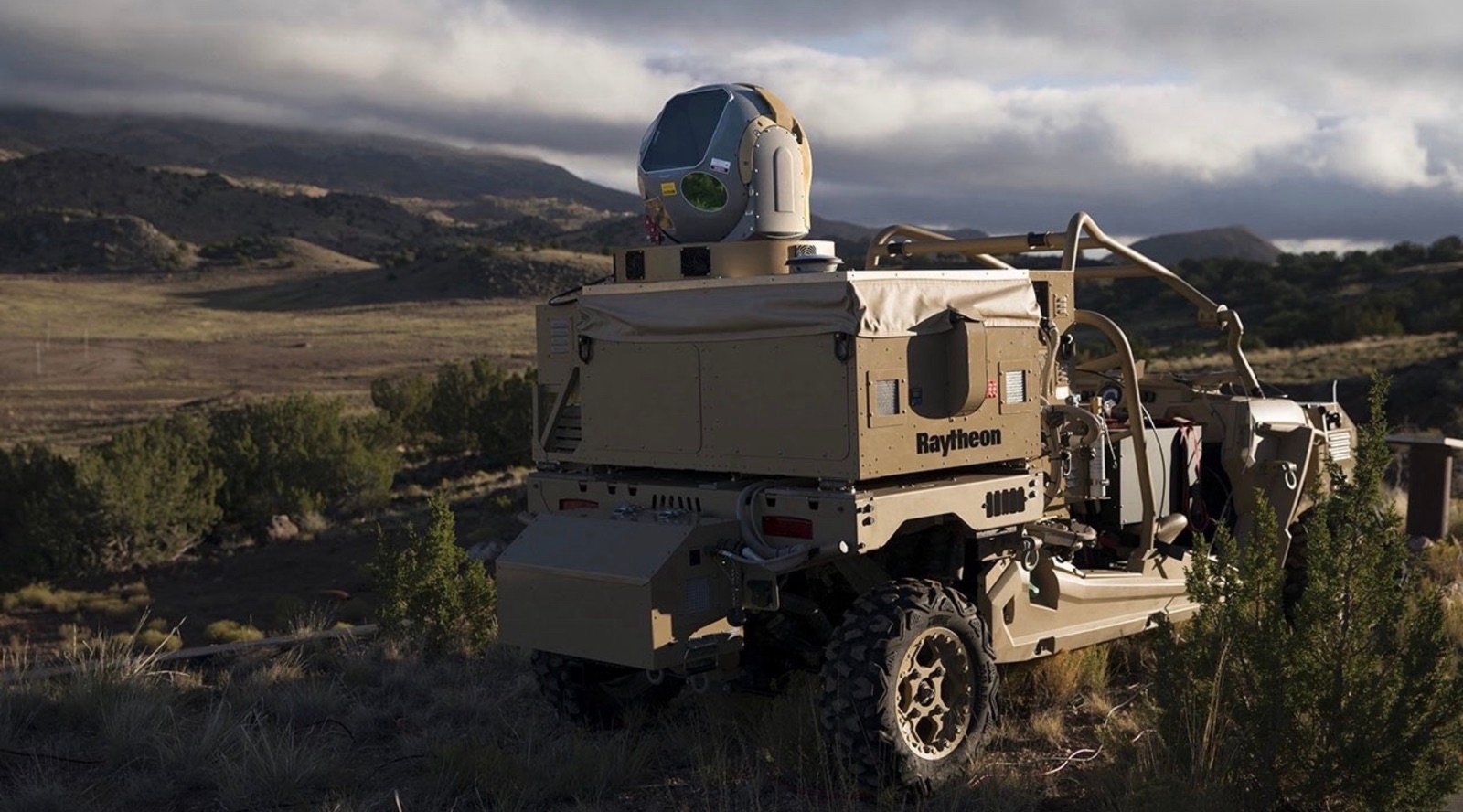
Pentagon Laser Shoots Down CBP Drone Near El Paso, Exposing a Deeper Government Coordination Failure

14 hours ago 0
Disney Cascade of Lights: New 379-drone water show debuts in Paris this month
18 hours ago 0
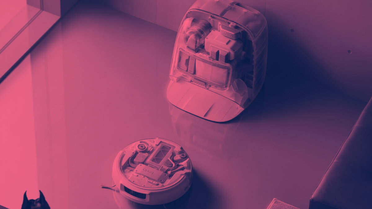
DJI robot vacuum cameras accidentally hacked in security nightmare

18 hours ago 0
The HONOR Robot Phone isn’t just a glorified DJI Pocket